Our core activity is supplying advanced surveying instruments to address the industry's evolving needs. As we are the authorized Trimble dealer in Iraq.
Our highly qualified engineering team, trained at Trimble workshops in the UAE, is adept at providing comprehensive services for all Trimble instruments. This includes expert installation, in-depth training, meticulous maintenance, and exceptional after-sales support, including repairs, maintenance, and calibration.
Our expertise extends to servicing a significant number of surveying instruments, catering to both private sector clients and governmental authorities. Our successful track record underscores our commitment to delivering reliable, efficient, and expert support.
We offer wide range of tools and technology including:
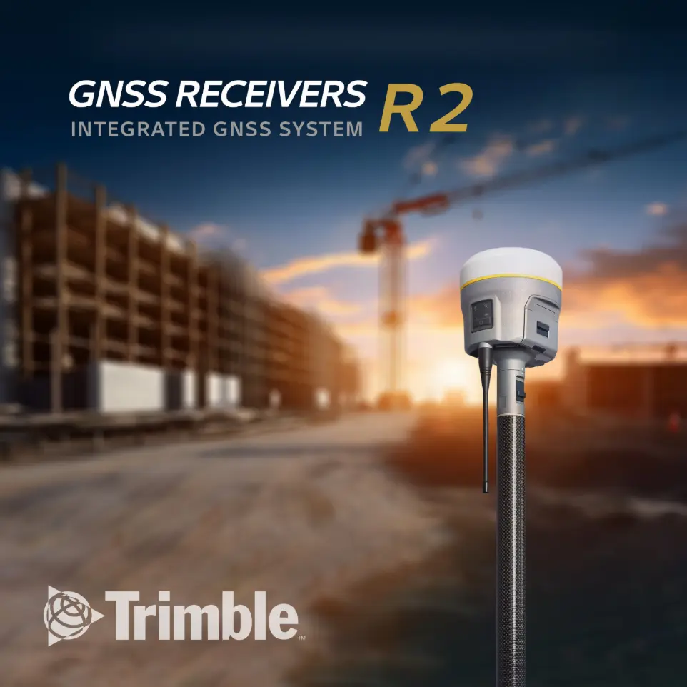
GNSS receivers R2
The Trimble® R2 is a compact, durable GNSS receiver that provides an easy-to-use solution for GIS and survey professionals who need to collect highly accurate data in a wide range of geospatial applications. Capable of delivering between sub meter and centimeter positioning accuracy in real-time to any mobile device via a wireless Bluetooth® connection, the R2 receiver gives you total flexibility to choose a solution based on the accuracy and GNSS performance level that suits your application, letting you work the way you want.
- Professional solution for GIS & survey applications ranging from submeter to centimeter accuracies.
- Supports multiple satellite constellations and correction sources for accurate data at any location.
- Trimble Maxwell 6 chip with 220 channels and leading GNSS technology maximizes data quality.
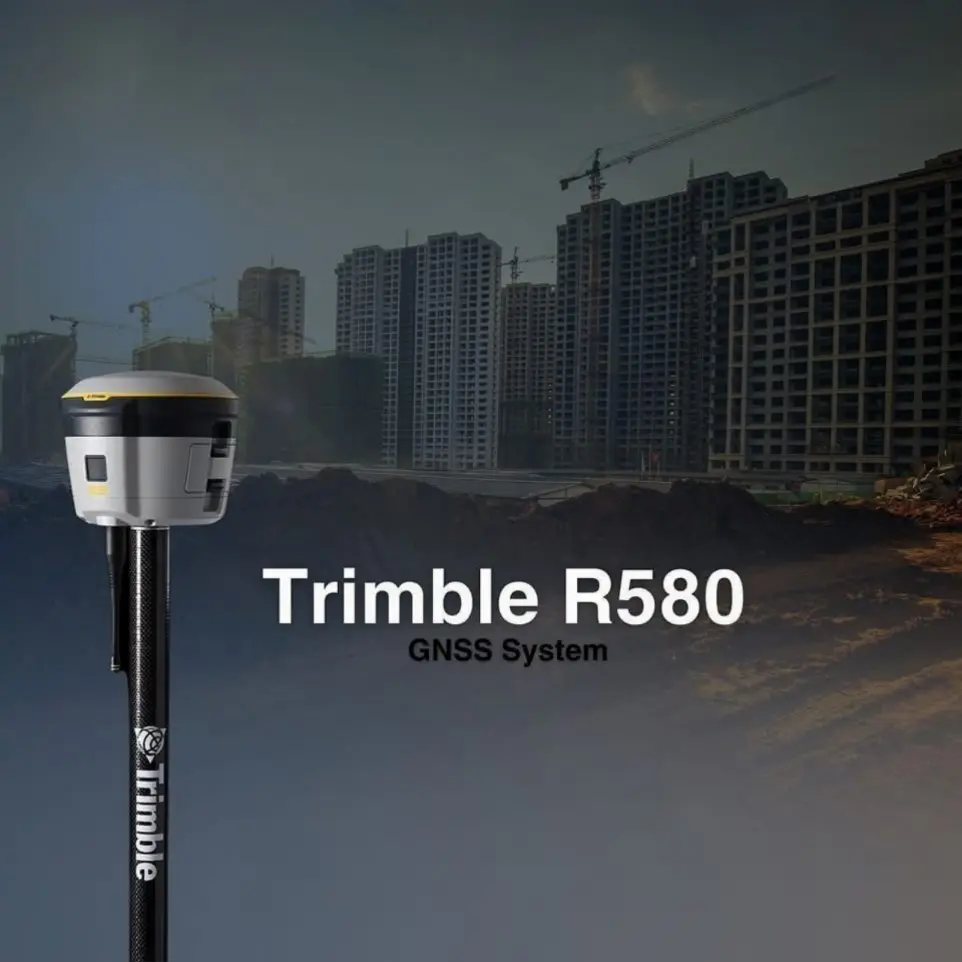
R580
Trimble R580 GNSS system to keep you working with survey precision. Powered by the industry-leading Trimble ProPoint® GNSS engine, this everyday integrated receiver delivers greater productivity and reliable accuracy in more places. Available in post-processing, base only, rover only, or base & rover configurations
- Includes Trimble Maxwell™ 7 chips with 336 channels.
- Supports iOS, Android, Windows 10.
- One-button start-up and cable-free
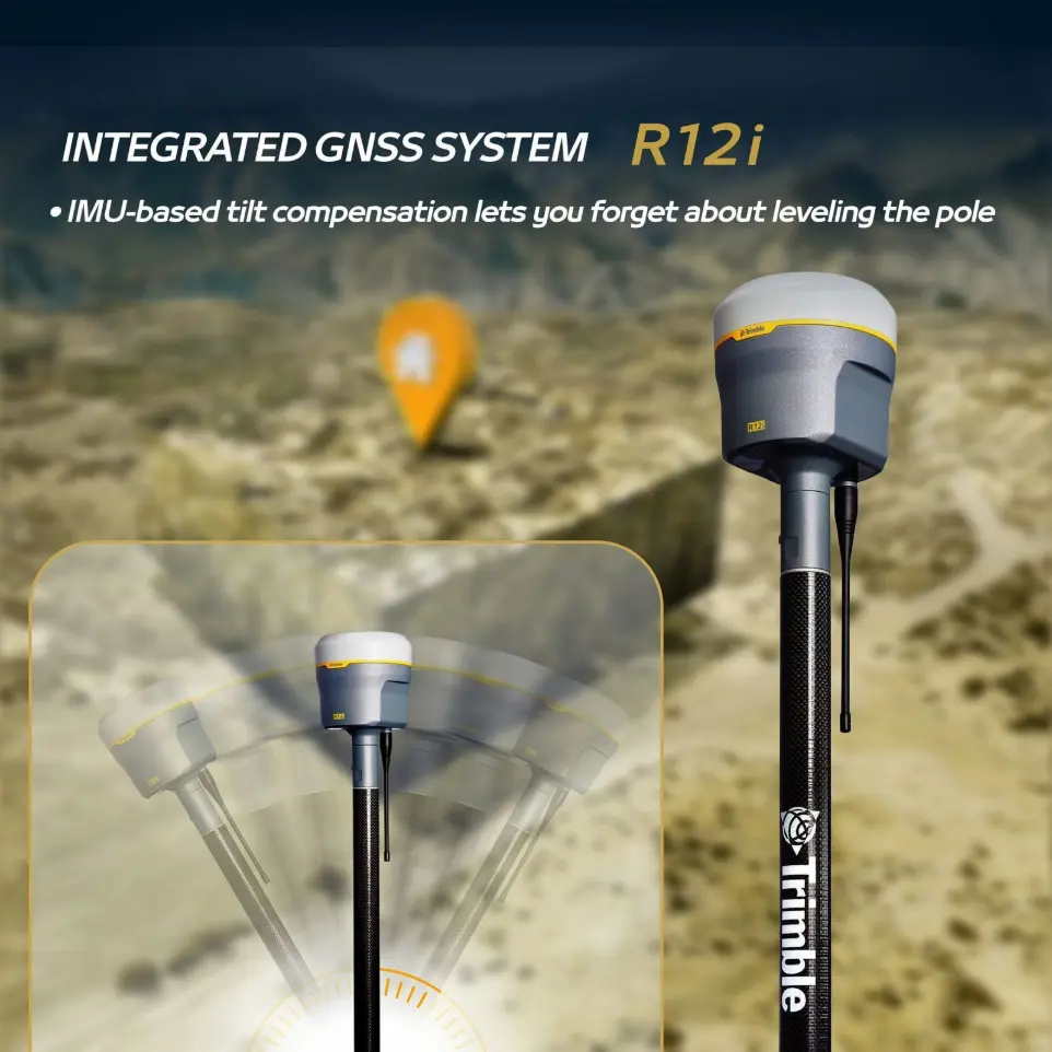
R12i
- The Trimble R12i GNSS system delivers unmatched GNSS performance and accuracy to boost the productivity of land surveyors like never before. Survey faster than ever before with internal measurement unit IMU-based tilt compensation lets you forget about leveling the pole, enabling you to get into tight places and get more done, quickly, and accurately.
- Trimble xFill® ensures less downtime in the field, with continuous RTK coverage during connection outages from an RTK base station or VRS network.
- Trimble Sure Point™ fully compensates for pole tilt. Conveniently measure points that were otherwise inaccessible with complete quality assurance.
- Powerful 672-channel solution with Trimble 360 technology delivers the most advanced satellite tracking.
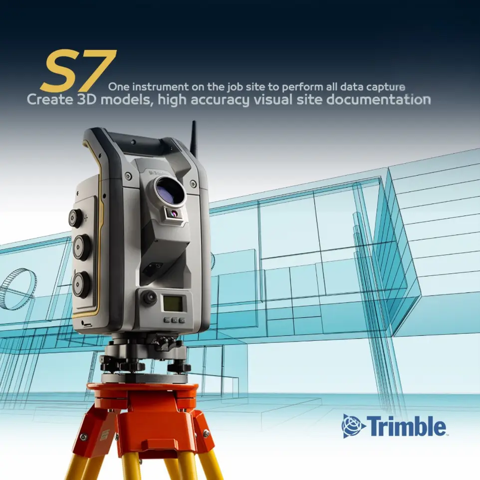
S7-Robotic Total Station
Now you only need one instrument on the job site to perform all your data capture. Create 3D models, high accuracy visual site documentation, point clouds, and more using the Trimble S7, Trimble Access™ field software and Trimble Business Center office software.
- Surveying, imaging and 3D scanning in one powerful solution
- Improved Trimble VISION technology for video robotic control, scene documentation and photogrametric measurements
- Trimble DR Plus for long range and superior accuracy
- Complete field-to-office solution for quick data capture and processing
- Seamless integrated surveying with Trimble GNSS receivers

TSC7 - Controller
Redesigned from the ground up, the Trimble® TSC7 controller with Trimble Access™ field software combines the power of a tablet, laptop and survey-rugged design into one device. Bringing the latest in field technology, this powerful combination of hardware and software unleashes a competitive advantage for how you survey in the field
- Optimized for Trimble Access for streamlined workflows
- Backlit keypad with customizable button commands
- Windows® 10 operating system Secure technology
- Large 7-inch multi-touch screen and sunlight readable display
- 8 GB RAM, 128 GB internal memory Manages large project files & data
- Hot-swappable batteries With LED indicators
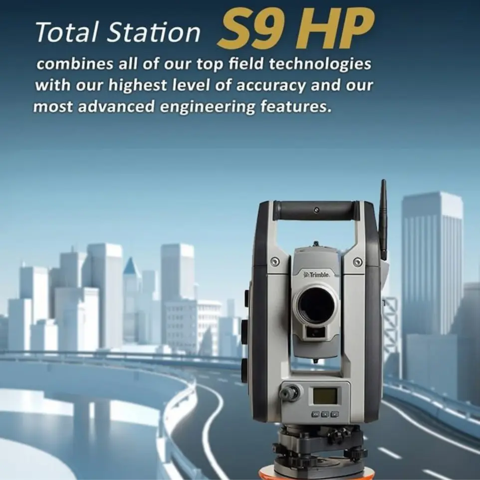
S9 HP - Total Station
Whether your project involves monitoring, tunneling, or another highly specialized application, the Trimble S9 HP total station is the solution. It combines all of our top field technologies with our highest level of accuracy and our most advanced engineering features. The result is a high-performance system built for the most demanding jobs
- Available 0.5” or 1” angle accuracy
- Trimble DR HP EDM for the highest accuracy and longest range prism measurements
- Optional Trimble technologies such as long range Finelock, VISION or Tracklight
- Complete field-to-office solution for quick data capture and processing
- Trimble 4D Control software for monitoring management
S7-Robotic Total Station
Now you only need one instrument on the job site to perform all your data capture. Create 3D models, high accuracy visual site documentation, point clouds, and more using the Trimble S7, Trimble Access™ field software and Trimble Business Center office software.
- Surveying, imaging and 3D scanning in one powerful solution
- Improved Trimble VISION technology for video robotic control, scene documentation and photogrametric measurements
- Trimble DR Plus for long range and superior accuracy
- Complete field-to-office solution for quick data capture and processing
- Seamless integrated surveying with Trimble GNSS receivers
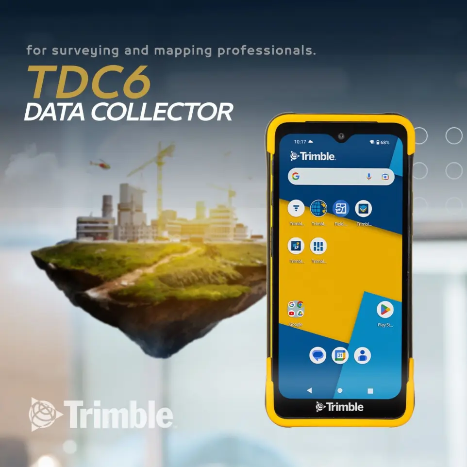
TDC 6 -controller
The Trimble TDC6 data collector is a powerful, versatile, and cost-effective field data collection solution for surveying and mapping professionals. Use the TDC6 standalone as a GIS data collector, paired with a GNSS receiver or as an onboard total station controller.
- Android 12 OS
- Worldwide 5G
- 9-hour battery life
- 6.3-inch screen
- IP67/MIL-STD-810G
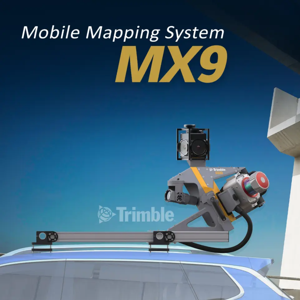
MX9 - Mobile Mapping System
The MX9 mounts on top of a vehicle and rapidly captures dense point clouds and images—both panoramic and multi-angle. Rich corridor data can be collected at highway speeds, significantly improving data collection on busy highways and avoiding costly lane closures.
Our Partner